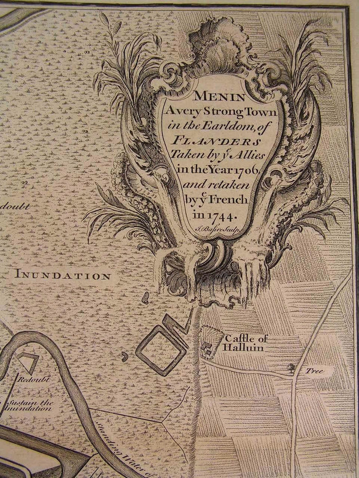
Menin Belgium Military Battle Plan Fortress Batteries c.1745 old Basire map
Menin Belgium Military Battle Plan Fortress Batteries c.1745 old Basire map
BUNDLE & SAVE
Couldn't load pickup availability

Menin Belgium Military Battle Plan Fortress Batteries c.1745 old Basire map
⏱️ Fast shipping
⏱️ Fast shipping
We offer tracked and insured shipping for all of ourorders.Order processing takes 1-3 business days before shipment.
↩️ Free returns
↩️ Free returns
If you're not satisfied, return it for free-no hassle, norisk.
Menin
A very Strong Town in the Earldom of Flanders Taken by ye Allies in the Year 1706 and retaken by ye French in 1744
(Belgium- Flanders- Military Map- Battle Plan- Fortress- Batteries of Cannon- Batteries of Mortars)
For Mr. Tindal's Continuation of Mr. Rapin's History of England
Printed ca. 1735-45, London
Engraved by J. Basire
Original antique folio sheet engraved
map. Very detailed, showing topography, troop locations, place names, and a fine large strapwork title cartouche.
A detailed, scarce and interesting battle map which could readily be collected on it's own merits, displayed or given as a present.
In Fair to Good antiquarian condition, mostly clean overall, light minor age dustiness or light surface wear, small scattered spotting or age soiling as seen, original fold-lines as issued, some extra fold-lines which are easy to overlook or forgive visually, overall the map is clean and very attractive -- map has been priced according to this condition as described.
Please inspect photos closely- any noteworthy flaws to the printed surface area should be noticeable within pictures provided. These pictures form a central part of the item description and we encourage you to study them carefully. We will send the actual antique item shown.
[ note: We grade very conservatively. We are doing our best to show & describe this item so you are happy when it arrives ].
An interesting antique printed map that any collector, dealer, institution or person of taste would be happy to own or display.
Sheet measures c. 20 1/2" W x 16 1/2" H.
Engraved area measures c. 19" W x 15 1/4" H.
[R4679]
Tooleys Dictionary of Mapmakers , v. 1, p. 94